


Hoa Lu Temple


Destination
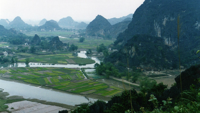
Hoa Lu was the capital of Vietnam in the 10th and 11th centuries in Ninh Bình Province, Vietnam. The area is one of ricefields broken by picturesque limestone mountains, and is approximately 90 km south of Hanoi. Together with Phát Diệm Cathedral, Tam Cốc-Bích Động, Bái Đính Temple, Trang An, and Cúc Phương, Hoa Lư is one of the most popular tourist destinations in Ninh Bình Province.
In the late 10th century, Hoa Lư was the capital as well as the economic, political and cultural center of Đại Cồ Việt, an independent Vietnamese polity founded in 968 A.D. by the local warlord Đinh Bộ Lĩnh (posthumously known as Đinh Tiên Hoàng, or "First Dinh Emperor"), following years of civil war and a violent secessionist movement against China's Southern Han Dynasty. Hoa Lư was the native land of the first two imperial dynasties of Vietnam: the Đinh founded by Đinh Tiên Hoàng, and the Early Lê founded by Lê Đại Hành.Following the demise of the Lê Dynasty, in 1010 Lý Công Uẩn, the founder of the Lý Dynasty, transferred the capital to Thăng Long (now Hanoi), and Hoa Lư became known as the "ancient capital."
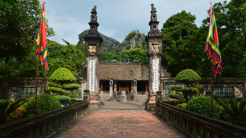
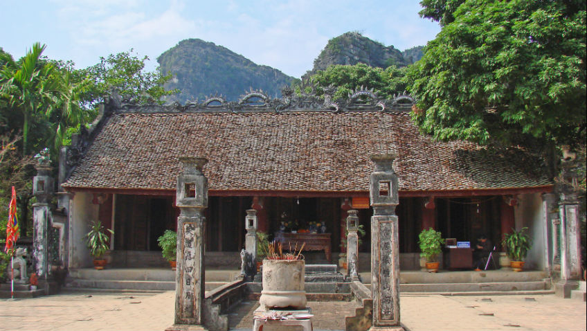
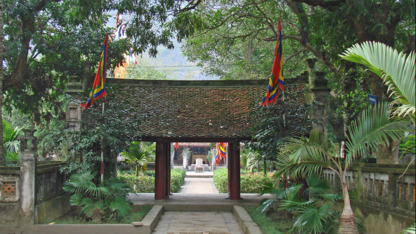
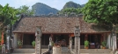
The capital at Hoa Lư covered an area of 300 ha (3.0 km2), including both the Inner and Outer Citadels. It included defensive earthen walls, palaces, temples and shrines, and was surrounded and protected by mountains of limestone. Today, the ancient citadel no longer exists, and few vestiges of the 10th century remain. Visitors can see temples built in honor of the emperors Đinh Tiên Hoàng and Lê Đại Hành, their sons, and Queen Dương Vân Nga, who was married first to Đinh Tiên Hoàng and then to Lê Đại Hành. The tomb of Đinh Tiên Hoàng is located on nearby Mã Yên mountain, while the tomb of Lê Đại Hành lies at the foot of the mountain.
Geography
The ancient capital of Hoa Lư was located in a flat valley between small but steep limestone mountains that created virtually impenetrable barriers to human traffic. Even today, many of the mountains are accessible only to the mountain goats that roam the area.
The 10th century rulers of Đại Cồ Việt took advantage of this topography in order to design enclosures that would be especially difficult to attack. In order to block the gaps between the limestone mountains, they ordered the construction of earthen walls reinforced and anchored in the soft earth by wooden stakes. In all, the capital was protected by ten sections of wall, the longest being 500m in length and the shortest 65m in length. They were approximately 10m high and 15m thick. Several sections of wall still exist and have been excavated by archeologists.
During the time it served as the capital, Hoa Lư's defenses were never actually tested by an enemy army. In 972, the king of Champa sent a fleet against Hoa Lư, but it was devastated by a storm as it tried to enter the river system from the sea and was forced to return home with great loss. In 981, two Chinese armies of the Song Dynasty invaded the Đại Cồ Việt with the aim of eventually working their way south and taking the capital, but they were stopped and defeated in the northern part of the country.
The ancient capital at Hoa Lư consists of two separate enclosures, the Inner Citadel which lies to the west and the Outer Citadel which lies to the east, and which includes most of the sites visited by tourists. The two citadels are separated by a limestone mountain. Both have access to the Hoàng Long ("Golden Dragon") River that runs just north-west of the capital and that, via a system of rivers, connects Hoa Lư to the sea. In the 10th century, the dwellings of the common people, as well as the markets and the storehouses connected with the river trade, were concentrated near the river.
The area of the ancient imperial capital of Hoa Lư features several dozen monuments, including the following:
- Đinh Tiên Hoàng Temple
- Lê Đại Hành Temple
- Đinh Tiên Hoàng Tomb
Destination map
Related


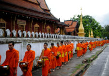
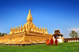
Related tours

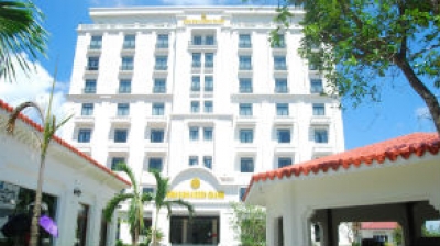
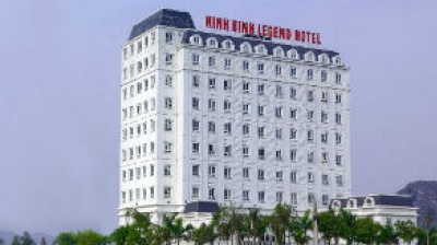
Related hotel